Immersive Visualization of Dengue Vector Breeding Sites Extracted from Street View Images

Abstract:

Dengue is considered one of the most serious global health burdens. The primary vector of dengue is the Aedes aegypti mosquito, which has adapted to human habitats and breeds primarily in artificial containers that can contain water. Control of dengue relies on effective mosquito vector control, for which detection and mapping of potential breeding sites is essential.  The two traditional approaches to this have been to use satellite images, which do not provide sufficient resolution to detect a large proportion of the breeding sites, and manual counting, which is too labor-intensive to be used on a routine basis over large areas.

Objectives:

Applying convolutional neural nets to detect outdoor containers representing potential breeding sites in Google street view images. The challenge is now not a paucity of data, but rather transforming the large volumes of data produced into meaningful information. 

Locale of Study:

Thailand

Project Duration:

2020 – 2021

Project Results:

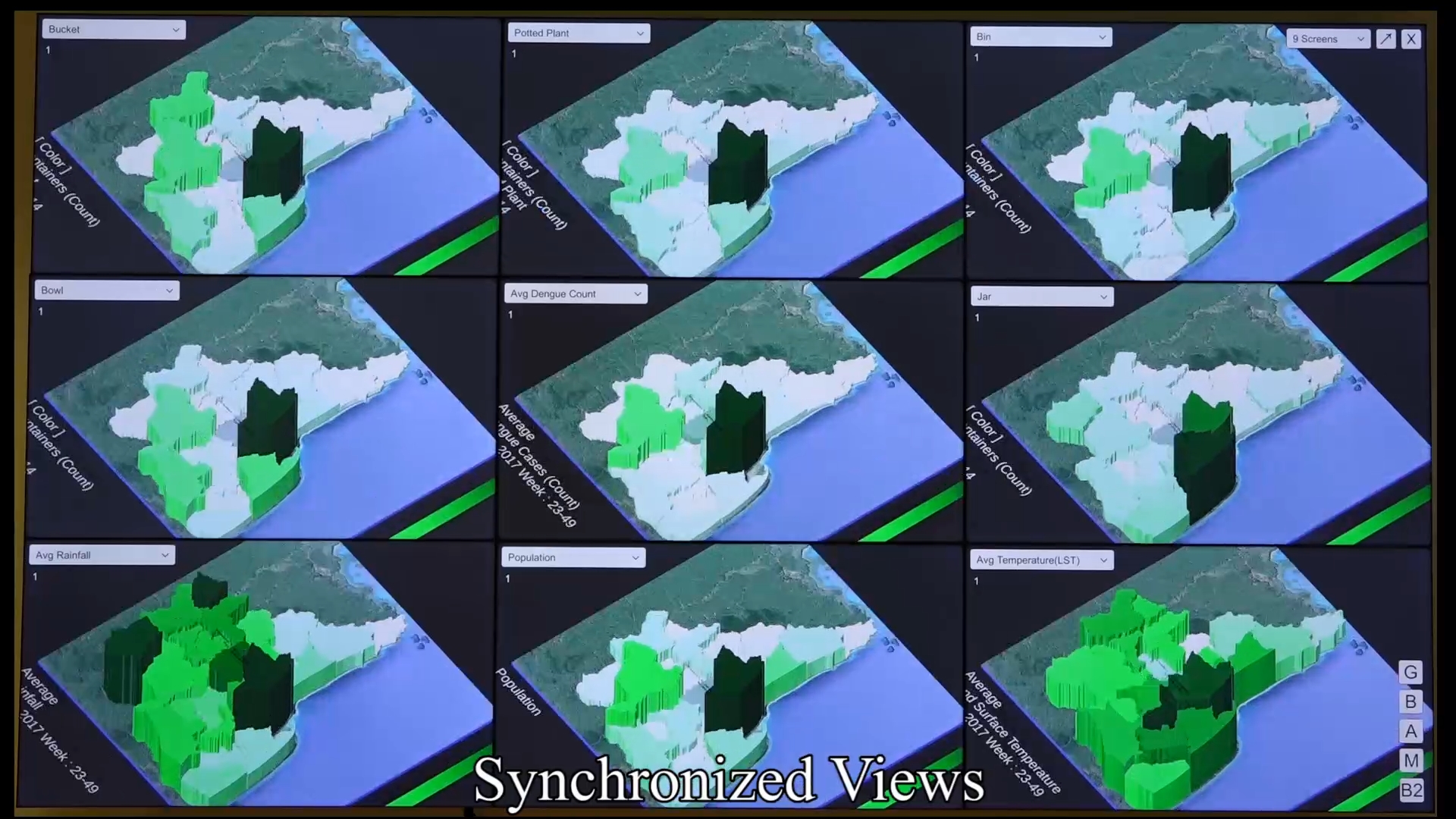
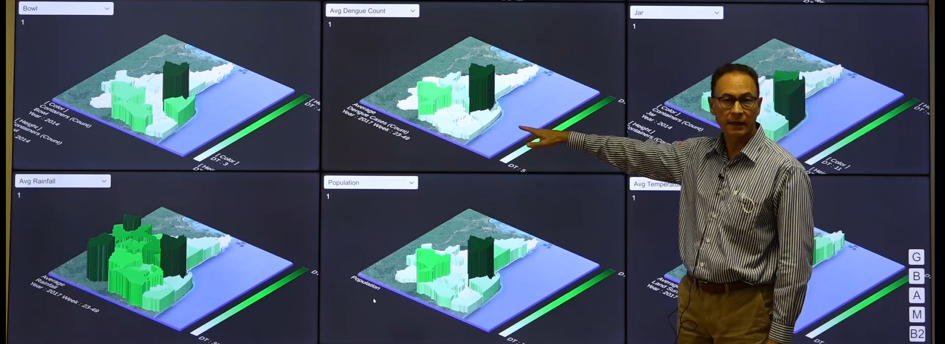
Presenting the design of an immersive visualization using a tiled-display wall that supports an early but crucial stage of dengue investigation, by enabling researchers to interactively explore and discover patterns in the datasets, which can help in forming hypotheses that can drive quantitative analyses.

Collaborators:

  • Faculty of Information and Communication Technolgy
  • Biomathematics and Epidemiology, Grenoble-Alpes University, VetAgro Sup; Laue–Langevin Institute, Theory Group.
  • Grenoble, France.
  • Information Technology Center, Department of Disease Control, Ministry of Public Health, Nonthaburi, Thailand

Related Links: